


Blog Title Here
by Accede- 97
- 565
- Web Design
- 28 August
Lorem ipsum dolor sit amet consectetur adipisicing elitsed eiusmod tempor enim minim veniam quis notru exercit ation
Read more
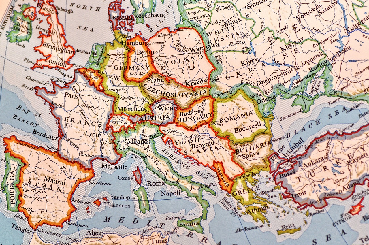
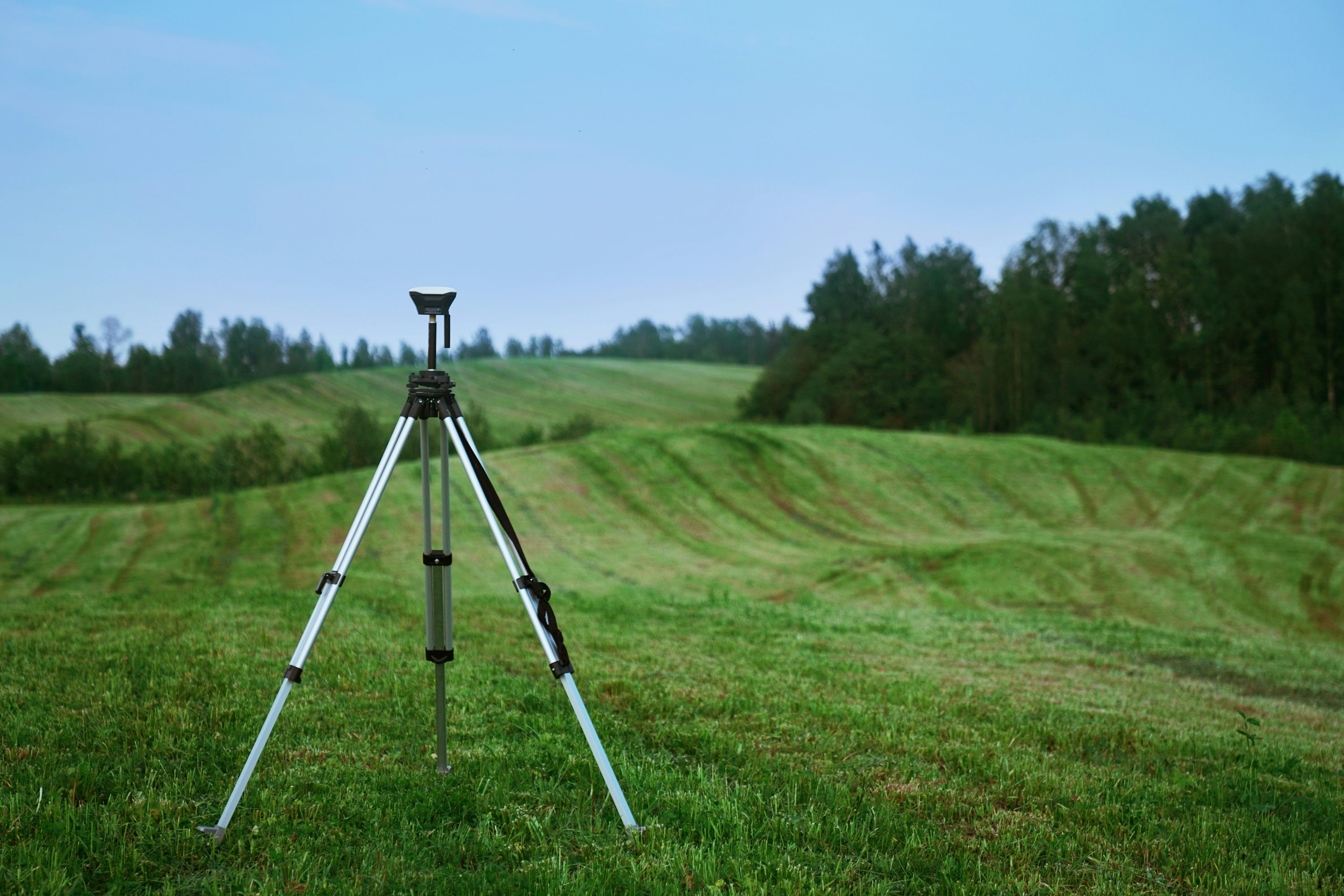
Providing innovative GIS, remote sensing, and ICT solutions to empower organizations and researchers with smarter decisions.
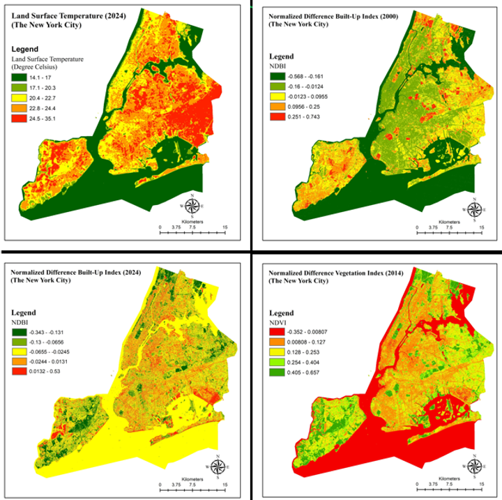
We specialize in GIS mapping, satellite image analysis, and geospatial data processing to deliver practical and effective solutions.
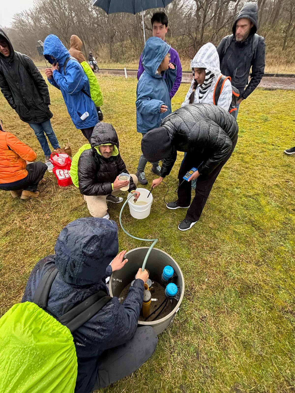
Our team supports research projects and offers expert consultancy to solve real-world challenges in diverse fields.
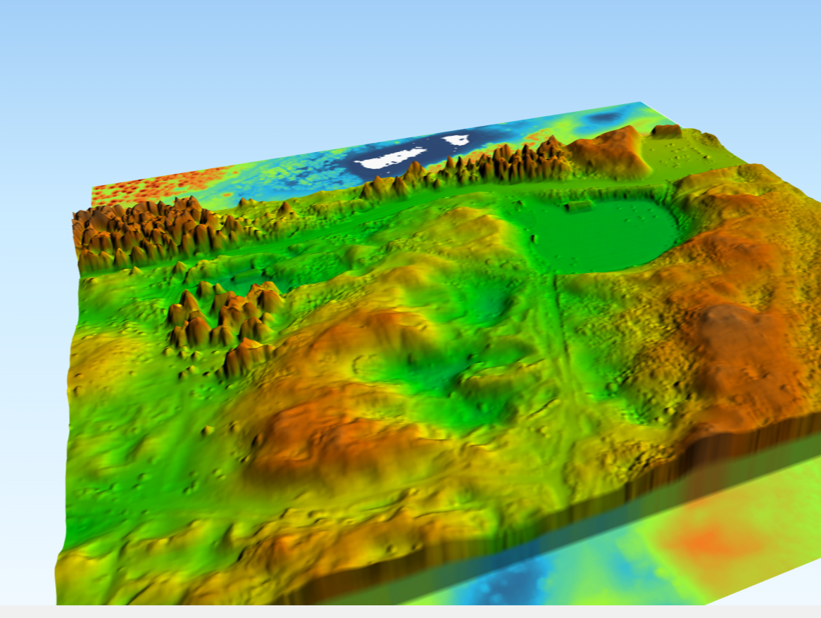
We create smart systems, digital twins, and user-friendly web and mobile applications for seamless data-driven decisions.
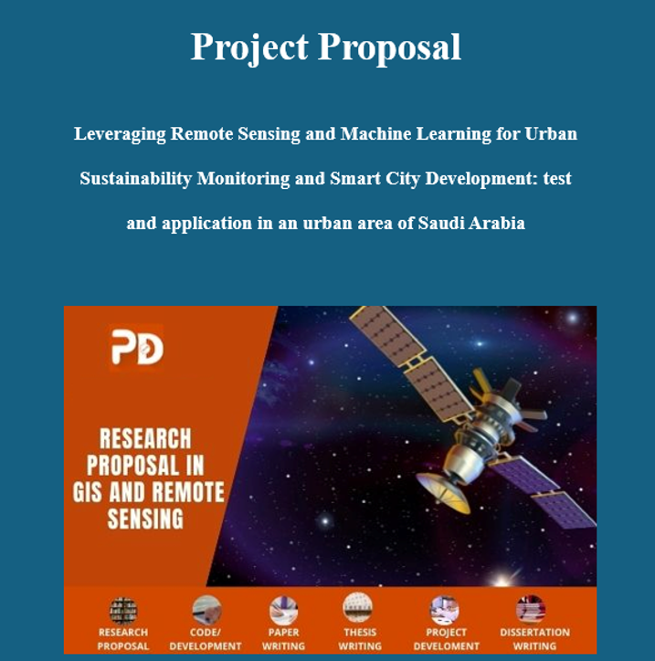
We offer a wide range of professional services tailored to meet your business needs. From strategic planning to full-scale execution, our team is dedicated to delivering exceptional results with every project.
Providing innovative GIS, remote sensing, and ICT solutions to solve complex challenges and support sustainable development.
get startMeet our team of experienced professionals who are dedicated to delivering exceptional results. With deep industry knowledge and a passion for excellence, our experts are here to guide you every step of the way.
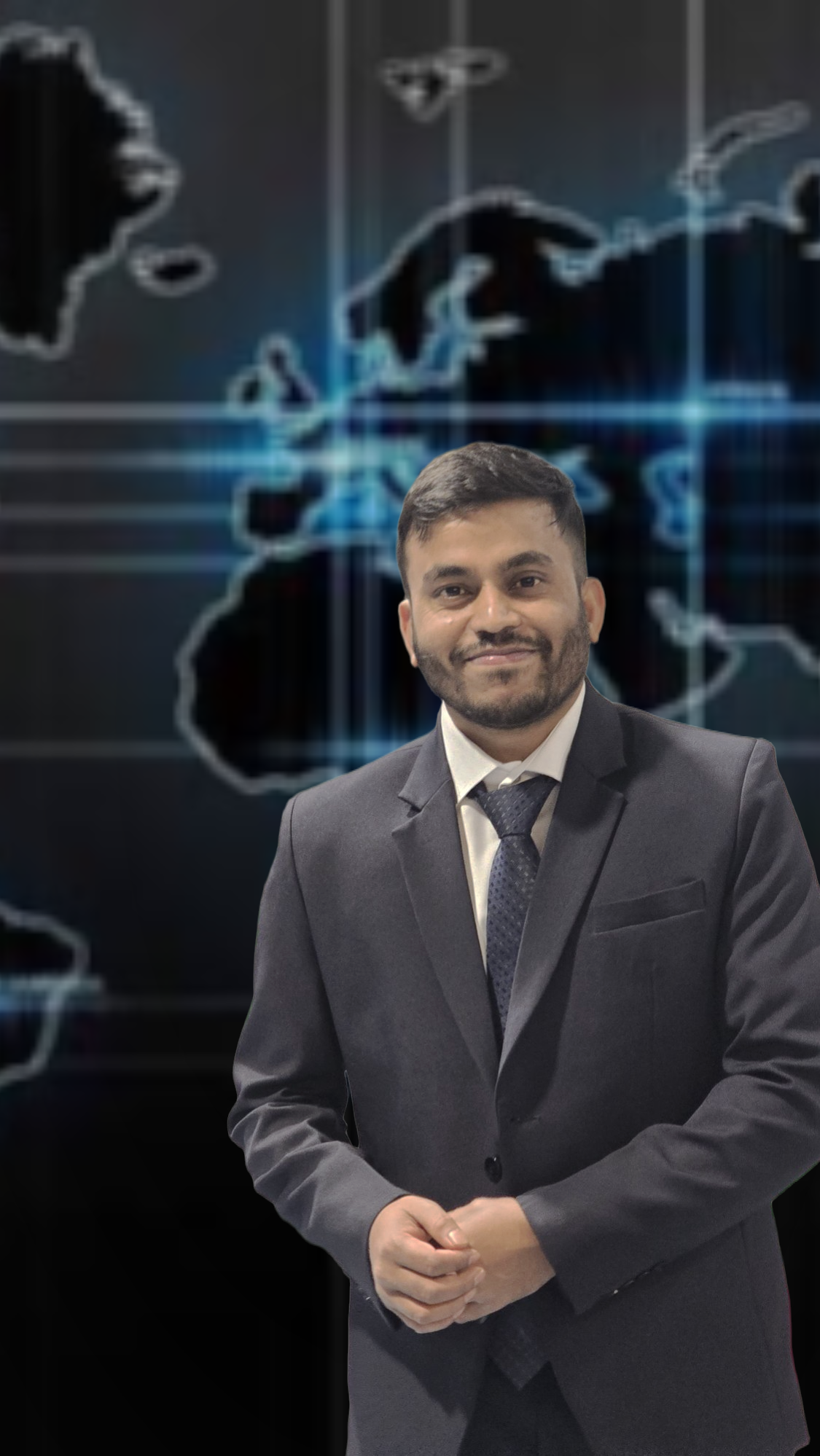
𝐏𝐫𝐨𝐟𝐞𝐬𝐬𝐢𝐨𝐧𝐚𝐥 𝐁𝐚𝐜𝐤𝐠𝐫𝐨𝐮𝐧𝐝: Over 9 years of experience in GIS and Remote Sensing. BSc and MS in Environmental Science and MSc in Groundwater and Global Change Impact and Adaptation at three universities (IST, Portugal, IHE Delft,Netherlands and TUD, Germany). 𝐂𝐚𝐫𝐞𝐞𝐫 𝐇𝐢𝐠𝐡𝐥𝐢𝐠𝐡𝐭𝐬: Former Research Associate at North South University. Served as Research Consultant at CEGIS. Worked as Project Analyst at GreenTech Foundation Bangladesh. 𝐂𝐮𝐫𝐫𝐞𝐧𝐭 𝐑𝐨𝐥𝐞: Development Lead at Geosense Global. 𝐔𝐭𝐢𝐥𝐢𝐳𝐞𝐬 𝐢𝐧𝐝𝐮𝐬𝐭𝐫𝐲-𝐬𝐭𝐚𝐧𝐝𝐚𝐫𝐝 𝐭𝐨𝐨𝐥𝐬 𝐟𝐨𝐫 𝐠𝐞𝐨𝐬𝐩𝐚𝐭𝐢𝐚𝐥 𝐬𝐨𝐥𝐮𝐭𝐢𝐨𝐧𝐬, 𝐢𝐧𝐜𝐥𝐮𝐝𝐢𝐧𝐠: ArcGIS QGIS Google Earth Engine ERDAS Imagine IDRISI Selva Adobe Illustrator Photoshop. 𝐀𝐫𝐞𝐚𝐬 𝐨𝐟 𝐄𝐱𝐩𝐞𝐫𝐭𝐢𝐬𝐞: • Geospatial Data Analysis and Modeling • Remote Sensing and GIS Integration • Spatial Analysis and Data Visualization • Map Digitization • Research Design • Project Proposal Writing • Project Report Writing • Environmental Impact Assessment • Cartography and Map Design • Project Management and Team Leadership • Geospatial Software Mentoring (ArcGIS, QGIS, ERDAS Imagine, etc.
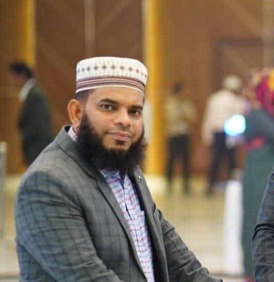
Md. Nazir Hossain brings over 18 years of expertise in administration, combined with an MBA in Human Resources. As the Chairman of Geosense Global, he plays a pivotal role in shaping the organization’s culture and ensuring its alignment with the company’s values and vision. With extensive experience in administration and leadership, Md. Nazir oversees every aspect of client management, administrative processes, and overall company operations. His meticulous approach ensures seamless workflows, exceptional client service, and the successful execution of organizational objectives. As Chairman, Md. Nazir Hossain continues to lead Geosense Global with unwavering dedication, leveraging his vast experience and leadership skills to drive innovation, ensure operational excellence, and maintain the organization’s commitment to client satisfaction.
Explore our latest articles, insights, and updates on topics that matter. Stay informed, inspired, and engaged with fresh content curated just for you.
Lorem ipsum dolor sit amet consectetur adipisicing elitsed eiusmod tempor enim minim veniam quis notru exercit ation
Read more
Lorem ipsum dolor sit amet consectetur adipisicing elitsed eiusmod tempor enim minim veniam quis notru exercit ation.
Read more
Lorem ipsum dolor sit amet consectetur adipisicing elitsed eiusmod tempor enim minim veniam quis notru exercit ation.
Read moreIf you have any inquiries or require assistance, please do not hesitate to contact our support team.